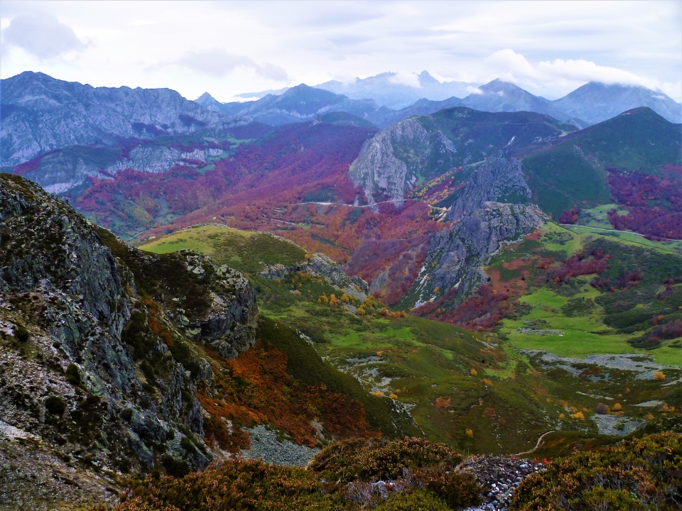
All the species that are characteristic of the north of the peninsula pass through it, such as the brown bear or the wolf, the fascinating capercaillie, Egyptian vultures and golden eagles among others, which benefit from the good conservation of the Redes Natural Park. .

If you also want to learn more about this wonderful area, the hiking or trekking routes, the Mountain Bike routes are unlimited, just as it is possible to do horseback riding... Ideal place, surrounded by nature, to do sports, tourism and adventure experiences.
1. La Vega de Brañagallones
Known by this name because of the abundance of capercaillie. This area is accessed through the town of Benzanes, where we will find a sign indicating the route.

2. Tiatordos Peak
Also known as "the perfect mountain." It is 1951 meters high. From the top you can see most of the mountain massifs and valleys of the Redes Natural Park and others that are a little further away. This route starts from the town Pendones. It is only surpassed by Pico Torres at 21,014 meters, which is the highest in the park.

3. Los Arrudos Gorge – Lake Ubales
Long route between vertical walls to enter the Arrudos gorge, passing through wooden bridges and natural viewpoints. Then we pass through more open spaces to reach Lake Ubales, from which we can retrace the steps we have taken, or we can continue to the village of Infiesta and then to Caleao, which is the starting point.

4. Oak trees and Tabayón del Mongayo waterfall
Route that starts from the village of Tarna and that we will see full of ancient oak trees known as Rebollos de Llanu’l Toru. The Tabayón del Mongayo is declared a natural monument.

5. Water Walk
Circular route along which we will find mills, drinking fountains, fountains and a well. Pass through the town of Caleao. All these elements form an important part of the architecture of typical towns and also cover the supply needs.

Explore the Redes Natural Park along its most beautiful trails and routes, where the small rivers and streams that end as tributaries of the Nalón River give rise to places as beautiful as the previous ones. Are you in?


